Creating the Rocket Cruising Guide to New Caledonia
Cruising Guide to New Caledonia -
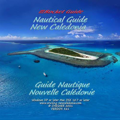
the Nautical Rocket Guide to New Caledonia
This is the story behind the creation of the Nautical Rocket Guide to New Caledonia.
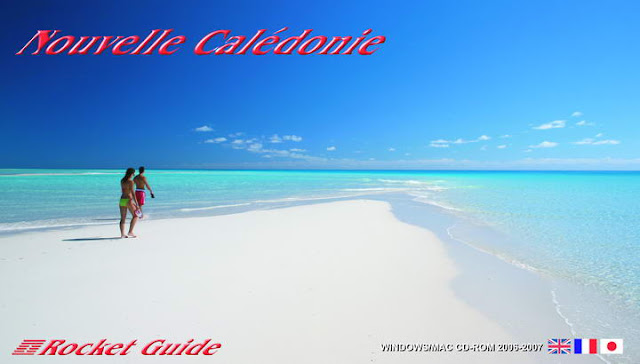
If you want the Cruising Guide to Nouvelle Caledonie (in French) Click here.
After the success and popularity of the Cruising Guide to Vanuatu
Freddy and I decided to develop a cruising Guide to New
Caledonia using high resolution satellite and aerial photography.
.
There was already a cruising guide to New Caledonia in book form first produced in 1996. We originally worked with the
author/publisher of the existing book to make an electronic version of
it. But after we finished it, and began actually using it, we
discovered it was full of errors - the maps were inaccurate and the GPS
positions were often wrong.
So we began again with all new imagery and
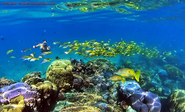
did our own surveys of all the anchorages in New Caledonia. Going to all the best possible anchorages, photographing the approaches, carefully documenting the GPS coordinates, investigated and photographed beaches, dive spots, treks, local highlights, anchoring conditions, and used our dinghy, GPS and sonar to carefully survey the anchorage, finding places to anchor safely in sand and not damage the corals or sea grass beds.
We even took 360 degree sphere images of the best features, above and below the water, so users could look all around as if they were actually there.

We called it the Nautical Rocket Guide to New Caledonia because you could zoom from a satellite image of all of New Caledonia to a satellite view showing the coastal area for a full day's sail -
and then click on the edge of the zoomed in view to go to the next
chart - and all around the country including the off-lying islands. Because it was very difficult to find a particular anchorage in the old book we worked hard to allow users to go from one anchorage to any other anchorage in just two clicks and include a searchable atlas of anchorages and topics.
It was a serious, but fun, challenge for me, a marine scientist, to design, code and compile the interactive program for Windows and even more of a challenge to do it for Macs.
On
every view there are a row of icons and clicking on them overlays
information on the satellite and aerial images showing depths and navigation aids , sailing directions including routes between anchorages and between New Caledonia and other ports, and anchorages everywhere in New Caledonia, plus an icon showing general information about that area of the coastline.
This icon menu stays the same for every view, right on down to the next zoom level - say the high resolution aerial image of Noumea or even closer down to an aerial view of Port Moselle Marina.
 |
| Port Moselle Marina |
The guide includes everything a cruising sailor needs for a cruise in New Caledonia including New Caledonia Ports of Entry, new caledonia marinas, where to buy yacht supplies and services in Noumea, New Caledonia money, WiFi and Internet in New Caledonia.
The cruising guide to New Caledonia is in both English and French. The French version is called Guide Nautique Nouvelle Caledonie and it gives the same information on location bateau nouvelle caledonie, le guide mouillage nouvelle caledonie and of course has all the same mouillages nouvelle caledonie. , information on the location bateau noumea and satellite views of nouvelle caledonie
We sell the cruising guide to New Caledonia on
the Internet. It is pretty famous because there is nothing else like it
anywhere in the world.
Here's 10 reasons why sailors really need the Rocket Guides for cruising in these beautiful tropical paradises.
Here's 10 reasons why sailors really need the Rocket Guides for cruising in these beautiful tropical paradises.

Comments